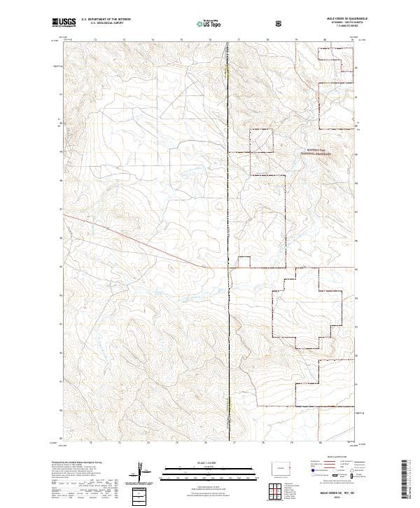
2021 Map of Mule Creek SE
USGS Topo · Published 2021About this map
The high plains borderland between Wyoming and South Dakota is defined by the convergence of several drainages and a large federal landholding. In the northeast corner of the map, the Buffalo Gap National Grassland covers a portion of Fall River County, while the Niobrara County side remains largely under the Public Land Survey System grid. The landscape is carved by the Moss Agate Cr and its northern and southern tributaries, which branch across the terrain to form a complex network of seasonal watercourses. Transport through this sparsely populated ranching country is anchored by Old Hwy 85 in the west and State Line Rd, which follows the precise boundary between the two states. This survey provides a modern look at the land-use patterns and hydrography of the region just east of the Mule Creek area.
Find a feature on this map
13 named features on this map. Tap any name to fly to it.
Don’t see what you’re looking for? This feature index may not catch every label — zoom into the map to look around manually.
Map Details
Editions of this 2021 Mule Creek SE Map
This is the sole edition of this map. No revisions or reprints were ever made.
Other maps of this area

1902 · Edgemont
USGS Topo · 1:125,000

1950 · Edgemont SW
USGS Topo · 1:24,000

1950 · Burdock
USGS Topo · 1:24,000

1951 · Twentyone Divide
USGS Topo · 1:24,000

1955 · Hot Springs
USGS Topo · 1:250,000

1955 · Newcastle
USGS Topo · 1:250,000

1958 · Newcastle
USGS Topo · 1:250,000

1978 · Riverview
USGS Topo · 1:24,000

1978 · Mule Creek
USGS Topo · 1:24,000

1978 · Coffee Flats
USGS Topo · 1:24,000