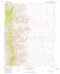
1969 Map of Mule Deer Ridge NE
USGS Topo · Published 1982About this map
The high ridges of the Sheep Range dominate the western portion of this 1969 survey, dropping steeply toward the broad expanse of Desert Valley to the east. This arid landscape is entirely contained within the National Wildlife Range, a massive protected area in southern Nevada. Isolated water sources like Sheep Spring and Lamb Spring are the primary landmarks in an otherwise stark environment, providing essential points for wildlife and travelers alike.
Find a feature on this map
9 named features on this map. Tap any name to fly to it.
Don’t see what you’re looking for? This feature index may not catch every label — zoom into the map to look around manually.
Map Details
Editions of this 1969 Mule Deer Ridge NE Map
2 editions found
Other maps of this area

1885 · Pioche
USGS Topo · 1:250,000

1886 · Saint Thomas
USGS Topo · 1:250,000

1886 · Pioche
USGS Topo · 1:250,000

1893 · Saint Thomas
USGS Topo · 1:250,000

1907 · Las Vegas
USGS Topo · 1:250,000

1908 · Las Vegas
USGS Topo · 1:250,000

1945 · Sheep Range
USGS Topo · 1:125,000

1945 · Alamo
USGS Topo · 1:125,000

1954 · Caliente
USGS Topo · 1:250,000

1954 · Las Vegas
USGS Topo · 1:250,000