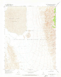
1969 Map of Mule Deer Ridge NW
USGS Topo · Published 1973About this map
Desert Lake and its surrounding arid basin dominate this 1960s landscape within the Desert National Wildlife Range. The map reveals a transition from the stark dry lake bed through a field of Sand Dunes into the dramatic elevations of the Sheep Range to the east and the East Desert Range to the west. Evidence of human activity in this remote Lincoln County terrain is minimal but documented through a network of Jeep Trails, a lonely Corral, and unidentified Ruins tucked near the base of the mountains. This survey, based on 1967 aerial photography, captures the basin's primitive infrastructure and natural topography before significant modern changes, serving as a specific record of high-desert navigation and land use in the late twentieth century.
Find a feature on this map
8 named features on this map. Tap any name to fly to it.
Don’t see what you’re looking for? This feature index may not catch every label — zoom into the map to look around manually.
Map Details
Editions of this 1969 Mule Deer Ridge NW Map
2 editions found
Other maps of this area

1907 · Las Vegas
USGS Topo · 1:250,000

1908 · Las Vegas
USGS Topo · 1:250,000

1945 · Sheep Range
USGS Topo · 1:125,000

1945 · Alamo
USGS Topo · 1:125,000

1954 · Caliente
USGS Topo · 1:250,000

1954 · Las Vegas
USGS Topo · 1:250,000

1957 · Las Vegas
USGS Topo · 1:250,000

1959 · Caliente
USGS Topo · 1:250,000

1959 · Las Vegas
USGS Topo · 1:250,000

1962 · Las Vegas
USGS Topo · 1:250,000