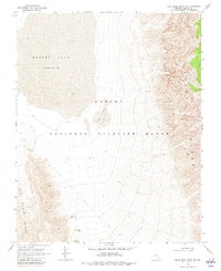
1969 Map of Mule Deer Ridge NW
USGS Topo · Published 1982About this map
Desert Lake (Depression) dominates the northwestern landscape of this Lincoln County survey, illustrating a massive arid basin bordered by the Sheep Range to the east and the East Desert Range to the southwest. This 1960s topographic study captures a transition from the smooth playa floor to the shiftings of Desert Dunes and the sharp elevation changes of the surrounding mountains. The area is entirely contained within the Desert National Wildlife Range, showing a landscape largely devoid of permanent development. Human traces are limited to essential survival and transit markers, such as a remote corral in the west and scattered ruins to the southeast, connected only by a network of primitive tracks labeled as Jeep Trail and Trail. These features reflect the mid-century isolation and difficult geography of this high-desert environment.
Find a feature on this map
9 named features on this map. Tap any name to fly to it.
Don’t see what you’re looking for? This feature index may not catch every label — zoom into the map to look around manually.
Map Details
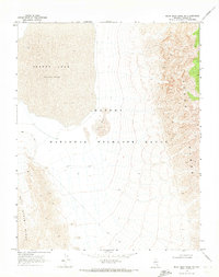
Editions of this 1969 Mule Deer Ridge NW Map
2 editions found
Other maps of this area

1907 · Las Vegas
USGS Topo · 1:250,000

1908 · Las Vegas
USGS Topo · 1:250,000

1945 · Sheep Range
USGS Topo · 1:125,000

1945 · Alamo
USGS Topo · 1:125,000

1954 · Caliente
USGS Topo · 1:250,000

1954 · Las Vegas
USGS Topo · 1:250,000

1957 · Las Vegas
USGS Topo · 1:250,000

1959 · Caliente
USGS Topo · 1:250,000

1959 · Las Vegas
USGS Topo · 1:250,000

1962 · Las Vegas
USGS Topo · 1:250,000