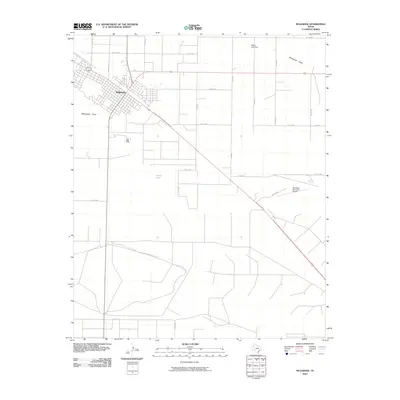
2010 Map of Muleshoe
USGS Topo · Published 2010About this map
Muleshoe serves as the central hub of this High Plains landscape, where the town's grid meets a radial network of rural roads such as Coop Gin Rd and W Ithaca St. The geography is defined by the ephemeral path of Blackwater Draw, which cuts across the terrain near the municipal center. This drainage system is part of a larger pattern of water management and natural catchments, including Willow Lake and Millen Lake Dam to the northeast. The presence of the Muleshoe Municipal Airport on the eastern edge of the survey area highlights the town's role as a regional waypoint. The surrounding territory is partitioned by an extensive section-line road system, including routes like Co Rd 1048 and Co Rd 1083, reflecting the region's agricultural organization and transport infrastructure in the early 21st century.
Find a feature on this map
22 named features on this map. Tap any name to fly to it.
Don’t see what you’re looking for? This feature index may not catch every label — zoom into the map to look around manually.
Map Details
Editions of this 2010 Muleshoe Map
This is the sole edition of this map. No revisions or reprints were ever made.
Other maps of this area

1954 · Clovis
USGS Topo · 1:250,000

1958 · Clovis
USGS Topo · 1:250,000

1962 · Muleshoe
USGS Topo · 1:24,000

1962 · Needmore
USGS Topo · 1:24,000

1962 · Baileyboro NE
USGS Topo · 1:24,000

1962 · Baileyboro
USGS Topo · 1:24,000

1962 · Sudan
USGS Topo · 1:24,000

1962 · Muleshoe NE
USGS Topo · 1:24,000

1963 · Lazbuddie SW
USGS Topo · 1:24,000

1963 · Progress
USGS Topo · 1:24,000