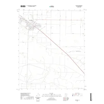
2019 Map of Muleshoe
USGS Topo · Published 2019About this map
Muleshoe serves as the primary hub of activity in this High Plains region, centered on the intersection of major thoroughfares and the historic transport corridor. The town's grid reflects its growth along W American Blvd and E American Blvd, where the built environment transitions into the surrounding agricultural landscape of Bailey County. To the southeast, the Muleshoe Municipal Airport marks a more modern extension of the local infrastructure, while Railroad Ave preserves the orientation of the original rail line that established the town. The most significant natural feature, Blackwater Draw, cuts a wide, shallow path across the terrain, indicating the ancient drainage patterns of the Llano Estacado. This landform and the extensive network of county roads, such as Co Rd 191 and Co Rd 203, show how the landscape is partitioned for ranching and farming around the settlement.
Find a feature on this map
66 named features on this map. Tap any name to fly to it.
Don’t see what you’re looking for? This feature index may not catch every label — zoom into the map to look around manually.
Map Details
Editions of this 2019 Muleshoe Map
This is the sole edition of this map. No revisions or reprints were ever made.
Other maps of this area

1954 · Clovis
USGS Topo · 1:250,000

1958 · Clovis
USGS Topo · 1:250,000

1962 · Muleshoe
USGS Topo · 1:24,000

1962 · Needmore
USGS Topo · 1:24,000

1962 · Baileyboro NE
USGS Topo · 1:24,000

1962 · Baileyboro
USGS Topo · 1:24,000

1962 · Sudan
USGS Topo · 1:24,000

1962 · Muleshoe NE
USGS Topo · 1:24,000

1963 · Lazbuddie SW
USGS Topo · 1:24,000

1963 · Progress
USGS Topo · 1:24,000