
1983 Map of Muleshoe Creek
USGS Topo · Published 1984About this map
The Niobrara River winds through the northern portion of this landscape, serving as a natural boundary between Cherry, Keya Paha, and Brown counties. This 1980s-era study documents a series of established landmarks and recreational sites along the river corridor, including the Sunny Brook Camp and Rocky Ford. The terrain is defined by a series of significant tributaries that carve through the Nebraska sandhills, such as Fairfield Creek to the south and Muleshoe Creek to the northeast.
Find a feature on this map
12 named features on this map. Tap any name to fly to it.
Don’t see what you’re looking for? This feature index may not catch every label — zoom into the map to look around manually.
Map Details
Editions of this 1983 Muleshoe Creek Map
2 editions found
Other maps of this area

1950 · Norden
USGS Topo · 1:62,500

1950 · Sparks
USGS Topo · 1:62,500

1950 · Wood Lake
USGS Topo · 1:62,500

1950 · Arabia
USGS Topo · 1:62,500

1952 · Norden
USGS Topo · 1:62,500

1957 · Valentine
USGS Topo · 1:250,000

1959 · Valentine
USGS Topo · 1:250,000
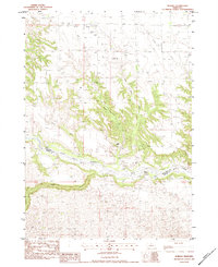
1983 · Norden
USGS Topo · 1:24,000
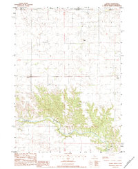
1983 · Sparks
USGS Topo · 1:24,000
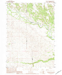
1983 · Muleshoe Creek
USGS Topo · 1:24,000