
1968 Map of Mulligan Lake SW
USGS Topo · Published 1971About this map
Beltrami Island State Forest dominates this landscape in northern Minnesota, where the dense wetlands and woods are intersected by the Roseau Co Beltrami Co line. The small settlement of Winner appears as a focal point for the few improved roads in the area, situated near Hansen Creek and a local Gravel Pit. The map captures a transition in land use, showing the established Red Lake Indian Reservation boundaries and the early development of Hayes Lake State Park in the northwest. Much of the southern terrain is crisscrossed by a Jeep Trail, reflecting the remote and swampy character of the region during the late 1960s. Genealogists may find interest in the isolated Elkwood Cem, a quiet landmark within the forest that speaks to the area's early settlement history.
Find a feature on this map
11 named features on this map. Tap any name to fly to it.
Don’t see what you’re looking for? This feature index may not catch every label — zoom into the map to look around manually.
Map Details
Editions of this 1968 Mulligan Lake SW Map
This is the sole edition of this map. No revisions or reprints were ever made.
Other maps of this area

1918 · Pencer
USGS Topo · 1:62,500

1918 · Malcolm
USGS Topo · 1:62,500

1919 · Liner
USGS Topo · 1:62,500

1954 · Roseau
USGS Topo · 1:250,000

1957 · Roseau
USGS Topo · 1:250,000

1958 · Roseau
USGS Topo · 1:250,000
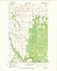
1967 · Wannaska NE
USGS Topo · 1:24,000
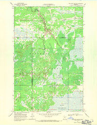
1968 · Mulligan Lake NE
USGS Topo · 1:24,000
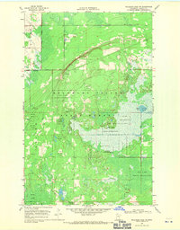
1968 · Mulligan Lake NW
USGS Topo · 1:24,000
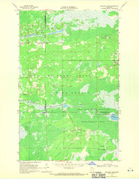
1968 · Mulligan Lake
USGS Topo · 1:24,000