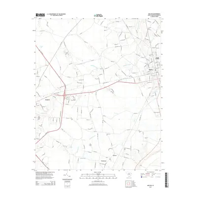
2014 Map of Mullins
USGS Topo · Published 2014About this map
Marion and Mullins anchor this portion of South Carolina's coastal plain, where the landscape is defined by its low-lying drainage networks and scattered rural settlements. The sprawling Maidendown Swamp separates the main townships from the surrounding countryside, which is dotted with long-standing family landmarks and small communities like Pendeboro and Koonce. For those researching local lineages, the map identifies numerous small burial grounds including Smithy Cem, Ammons Cem, and Lambert Cem, often found near old farm roads.
Find a feature on this map
176 named features on this map. Tap any name to fly to it.
Don’t see what you’re looking for? This feature index may not catch every label — zoom into the map to look around manually.
Map Details
Editions of this 2014 Mullins Map
This is the sole edition of this map. No revisions or reprints were ever made.
Other maps of this area

1943 · Pages Mill
USGS Topo · 1:62,500

1946 · Mullins
USGS Topo · 1:24,000

1947 · Friendship
USGS Topo · 1:24,000

1947 · Marion
USGS Topo · 1:24,000

1947 · Centenary
USGS Topo · 1:24,000

1947 · Mullins
USGS Topo · 1:24,000

1948 · Galivants Ferry
USGS Topo · 1:24,000

1948 · Nichols
USGS Topo · 1:24,000

1950 · Galivants Ferry
USGS Topo · 1:24,000

1950 · Nichols
USGS Topo · 1:24,000