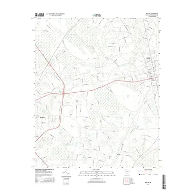
2017 Map of Mullins
USGS Topo · Published 2017About this map
Maidendown Swamp and a complex network of bays and wetlands define the geography between Mullins and the city of Marion in the late 2010s. This landscape is characterized by its numerous elliptical depressions known locally as bays, including Big Horsepen Bay, Piney Bay, and Wolf Pit Bay. These natural features have historically shaped the layout of local infrastructure, forcing roads to navigate around the waterlogged basins.
Find a feature on this map
153 named features on this map. Tap any name to fly to it.
Don’t see what you’re looking for? This feature index may not catch every label — zoom into the map to look around manually.
Map Details
Editions of this 2017 Mullins Map
This is the sole edition of this map. No revisions or reprints were ever made.
Other maps of this area

1943 · Pages Mill
USGS Topo · 1:62,500

1946 · Mullins
USGS Topo · 1:24,000

1947 · Friendship
USGS Topo · 1:24,000

1947 · Marion
USGS Topo · 1:24,000

1947 · Centenary
USGS Topo · 1:24,000

1947 · Mullins
USGS Topo · 1:24,000

1948 · Galivants Ferry
USGS Topo · 1:24,000

1948 · Nichols
USGS Topo · 1:24,000

1950 · Galivants Ferry
USGS Topo · 1:24,000

1950 · Nichols
USGS Topo · 1:24,000