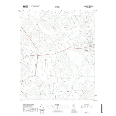
2020 Map of Mullins
USGS Topo · Published 2020About this map
Maidendown Swamp and a series of elliptical depressions known as Carolina Bays define the landscape of Marion County in this contemporary survey. The map details the transition from the concentrated residential blocks of Mullins and North Mullins to the sprawling agricultural and wetland terrain to the west. These elliptical features, such as Big Horsepen Bay, Little Horsepen Bay, and Wolf Pit Bay, create a unique mosaic of damp basins and higher sandy rims that have historically dictated land use and road patterns in the South Carolina Coastal Plain.
Find a feature on this map
170 named features on this map. Tap any name to fly to it.
Don’t see what you’re looking for? This feature index may not catch every label — zoom into the map to look around manually.
Map Details
Editions of this 2020 Mullins Map
This is the sole edition of this map. No revisions or reprints were ever made.
Other maps of this area

1943 · Pages Mill
USGS Topo · 1:62,500

1946 · Mullins
USGS Topo · 1:24,000

1947 · Friendship
USGS Topo · 1:24,000

1947 · Marion
USGS Topo · 1:24,000

1947 · Centenary
USGS Topo · 1:24,000

1947 · Mullins
USGS Topo · 1:24,000

1948 · Galivants Ferry
USGS Topo · 1:24,000

1948 · Nichols
USGS Topo · 1:24,000

1950 · Galivants Ferry
USGS Topo · 1:24,000

1950 · Nichols
USGS Topo · 1:24,000