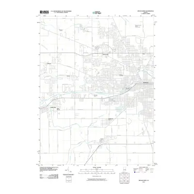
2010 Map of Muncie West
USGS Topo · Published 2010About this map
Ball State University and the surrounding residential developments of western Muncie define the landscape in this 2010 study of Delaware County. The urbanization of the region is evident in the dense street grids extending toward Andersonville and Drew, contrasting with the more open acreage to the west near Cammack. The White River winds through the center of the map, flanked by recreational and commemorative spaces like Elm Ridge Memorial Park and Beech Cove Cemetery.
Find a feature on this map
62 named features on this map. Tap any name to fly to it.
Don’t see what you’re looking for? This feature index may not catch every label — zoom into the map to look around manually.
Map Details
Editions of this 2010 Muncie West Map
This is the sole edition of this map. No revisions or reprints were ever made.
Other maps of this area

1952 · Muncie East
USGS Topo · 1:24,000

1952 · Muncie West
USGS Topo · 1:24,000

1953 · Muncie
USGS Topo · 1:250,000

1956 · Muncie
USGS Topo · 1:250,000

1960 · Gilman
USGS Topo · 1:24,000

1960 · Middletown
USGS Topo · 1:24,000

1960 · Eaton
USGS Topo · 1:24,000

1960 · Mount Pleasant
USGS Topo · 1:24,000

1960 · Wheeling
USGS Topo · 1:24,000

1960 · Sulphur Springs
USGS Topo · 1:24,000