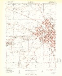
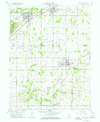
1952 Map of Muncie West
USGS Topo · Published 1953About this map
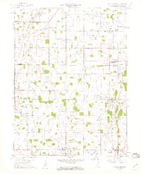
The western edge of Muncie and the surrounding townships of Harrison and Mount Pleasant are defined here by a dense network of education, industry, and rail. Ball State Teachers College stands as a primary institutional landmark, neighbored by the Memorial Hospital and St Marys Sch. The urban fabric is tightly woven with numerous neighborhood schools like Riley Sch and Harrison Sch, while the city's periphery shows the early expansion of neighborhoods near the Fairgrounds and Minnetrista Golf Course.
Find a feature on this map
78 named features on this map. Tap any name to fly to it.
Don’t see what you’re looking for? This feature index may not catch every label — zoom into the map to look around manually.
Map Details
Editions of this 1952 Muncie West Map
2 editions found
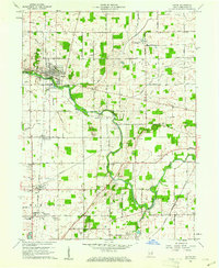
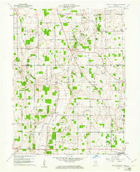
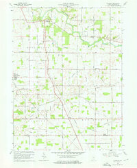
Other maps of this area
1952 · Muncie East
USGS Topo · 1:24,000
1952 · Muncie West
USGS Topo · 1:24,000

1953 · Muncie
USGS Topo · 1:250,000

1956 · Muncie
USGS Topo · 1:250,000
1960 · Gilman
USGS Topo · 1:24,000
1960 · Middletown
USGS Topo · 1:24,000
1960 · Eaton
USGS Topo · 1:24,000
1960 · Mount Pleasant
USGS Topo · 1:24,000
1960 · Wheeling
USGS Topo · 1:24,000
1960 · Sulphur Springs
USGS Topo · 1:24,000