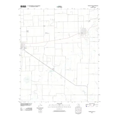
2010 Map of Munday East
USGS Topo · Published 2010About this map
Munday and Goree anchor this portion of Knox County, defined by a structured grid of rural roads and the drainage patterns of Lake Creek. The area maintains its agricultural character, with the Munday Municipal Airport serving as a local hub for aviation. Water management is central to the landscape, evidenced by the Munday Park Dam which creates Munday Park Lake, alongside smaller bodies like Scott Lake. For those tracing local history and family lineages, the map clearly identifies the Old Goree Cemetery and the primary Goree Cemetery, preserving the location of early burials. The hydrology of the region is further detailed through several named watercourses, including Wild Horse Creek and Rocky Creek, which wind through the open country south of the primary settlements.
Find a feature on this map
42 named features on this map. Tap any name to fly to it.
Don’t see what you’re looking for? This feature index may not catch every label — zoom into the map to look around manually.
Map Details
Editions of this 2010 Munday East Map
This is the sole edition of this map. No revisions or reprints were ever made.
Other maps of this area

1954 · Wichita Falls
USGS Topo · 1:250,000

1958 · Wichita Falls
USGS Topo · 1:250,000

1962 · Antelope Creek SW
USGS Topo · 1:24,000

1962 · Antelope Creek NW
USGS Topo · 1:24,000

1966 · Bomarton
USGS Topo · 1:24,000

1967 · Hefner
USGS Topo · 1:24,000

1967 · Weinert
USGS Topo · 1:24,000

1967 · Rhineland
USGS Topo · 1:24,000

1967 · Mattson
USGS Topo · 1:24,000

1968 · Munday West
USGS Topo · 1:24,000