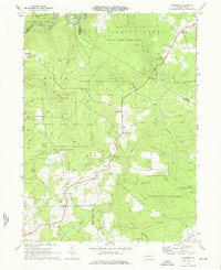
1969 Map of Munderf
USGS Topo · Published 1976About this map
The Clarion River winds through the northwestern corner of this Jefferson County landscape, carving a deep valley that borders the Allegheny Nat Forest. By the late 1960s, the region was defined by a mix of timber management and energy extraction, evidenced by numerous gas wells and a Strip Mine near Dixon Corner. Small, dispersed settlements like Munderf, Blowtown, and Lake City are scattered across the plateau, often centered around crossroads or small family cemeteries such as Munderf Cem.
Find a feature on this map
46 named features on this map. Tap any name to fly to it.
Don’t see what you’re looking for? This feature index may not catch every label — zoom into the map to look around manually.
Map Details
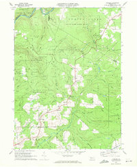
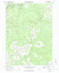
Editions of this 1969 Munderf Map
Other maps of this area

1918 · Loleta
USGS Topo · 1:62,500

1922 · Du Bois
USGS Topo · 1:62,500

1924 · Du Bois
USGS Topo · 1:62,500

1924 · Brookville
USGS Topo · 1:62,500

1926 · Brookville
USGS Topo · 1:62,500

1936 · Marienville
USGS Topo · 1:48,000

1940 · Hallton
USGS Topo · 1:48,000

1941 · Marienville
USGS Topo · 1:62,500

1943 · Hallton
USGS Topo · 1:62,500

1944 · Du Bois
USGS Topo · 1:62,500
Featured Places
- Warsaw Township, PA
- Millstone Township, PA
- Polk Township, PA
- Lake City, Spring Creek Township
- Snyder Township, PA