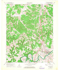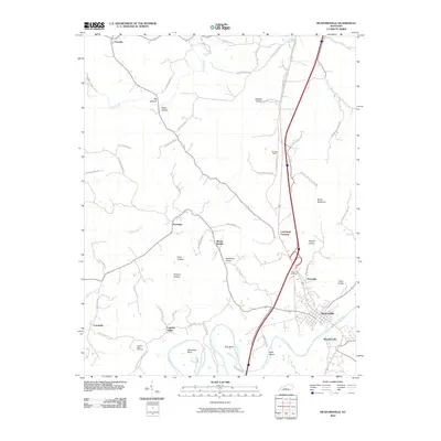
2022 Map of Munfordville
USGS Topo · Published 2022About this map
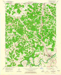
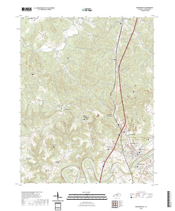
The Green River carves a winding path through Hart County, creating dramatic topographic features like Mansfield Bend, Lawler Bend, and Row Bend. This landscape is defined by its karst-like terrain, with numerous hollows such as Possum Hollow and Skultbone Hollow branching away from the river valley. The county seat at Munfordville and the neighboring settlement of Woodsonville sit overlooking the river, serving as central points for a region dotted with smaller hamlets like Kessinger and Bonnieville. Family history is deeply etched into the land through numerous small burial grounds and rural congregations, including the John Logsdon Family Cem and the Wilkerson Temple Methodist Church Cem. Along the eastern edge, the prominent ridge of Devils Backbone rises above Tanyard Hollow, while to the north, the terrain transitions into the broad expanse of Big Bottom.
Find a feature on this map
100 named features on this map. Tap any name to fly to it.
Don’t see what you’re looking for? This feature index may not catch every label — zoom into the map to look around manually.
Map Details
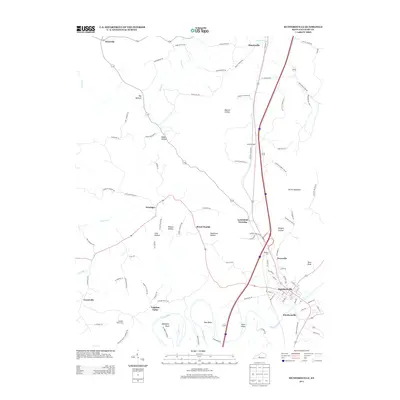
Editions of this 2022 Munfordville Map
This is the sole edition of this map. No revisions or reprints were ever made.
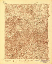
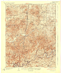
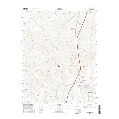
Historical Maps of Munfordville Through Time
9 maps found