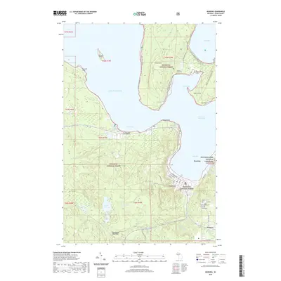
2019 Map of Munising
USGS Topo · Published 2019About this map
Munising serves as the focal point of this coastal survey, where the Anna River meets the waters of the Grand Island Harbor Bay. This harbor is shielded by the massive presence of Grand Island, which dominates the northern half of the map and features the remote Williams-Powell Cem and several miles of the Grand Island Bike trail. The transition from the developed streets of the city to the protected lands of the Hiawatha National Forest and Pictured Rocks National Lakeshore is clearly marked, illustrating how the region's geography is defined by federal conservation efforts and the shore of Lake Superior. To the west, the settlement of Christmas sits near Furnace Lake, while the inland railway connection at Munising Junction and the community of Wetmore anchor the southern corridor.
Find a feature on this map
51 named features on this map. Tap any name to fly to it.
Don’t see what you’re looking for? This feature index may not catch every label — zoom into the map to look around manually.
Map Details
Editions of this 2019 Munising Map
This is the sole edition of this map. No revisions or reprints were ever made.
Other maps of this area
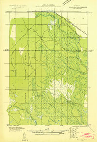
1931 · Munising SE
USGS Topo · 1:31,680
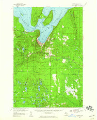
1958 · Munising
USGS Topo · 1:62,500
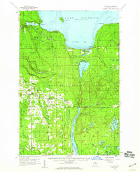
1958 · Au Train
USGS Topo · 1:62,500
1958 · Wood Island
USGS Topo · 1:62,500
1958 · Marquette
USGS Topo · 1:250,000
1960 · Marquette
USGS Topo · 1:250,000
1961 · Marquette
USGS Topo · 1:250,000
1968 · Marquette
USGS Topo · 1:250,000
1983 · Munising
USGS Topo · 1:100,000
1984 · Au Sable Point
USGS Topo · 1:100,000