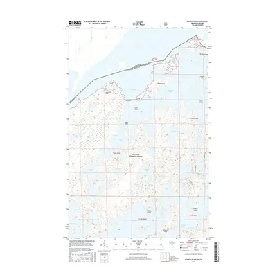
2016 Map of Munker Island
USGS Topo · Published 2016About this map
The international border between Canada and the United States cuts through the northern waters of Saganaga Lake, defining a landscape of sprawling islands and deep inlets within the Superior National Forest. This 2016 survey illustrates the intricate island geography of the Boundary Waters region, highlighting major landforms such as Munker Island, Englishman Island, and Miles Island. Connectivity to the backcountry is provided by the historic Gunflint Trail and the Blueberry Trail, which navigate the dense woods and rocky shores. In the southern half of the map, large water bodies like Sea Gull Lake and Red Rock Lake dominate the terrain, separated by narrow portages and family-named landmarks like American Point and Jocks Narrows. These features represent a vital recreational and ecological corridor, preserved as a primitive wilderness area accessible through points like Sag Landing.
Find a feature on this map
45 named features on this map. Tap any name to fly to it.
Don’t see what you’re looking for? This feature index may not catch every label — zoom into the map to look around manually.
Map Details
Editions of this 2016 Munker Island Map
This is the sole edition of this map. No revisions or reprints were ever made.
Other maps of this area

1957 · Quetico
USGS Topo · 1:250,000

1959 · Munker Island
USGS Topo · 1:24,000

1959 · Conners Island
USGS Topo · 1:24,000

1959 · Ogishkemuncie Lake
USGS Topo · 1:24,000

1959 · Gillis Lake
USGS Topo · 1:24,000

1959 · Ester Lake
USGS Topo · 1:24,000
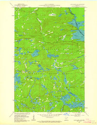
1960 · Long Island Lake
USGS Topo · 1:24,000

1968 · Quetico
USGS Topo · 1:250,000

1976 · Saganaga Lake
USGS Topo · 1:100,000

1977 · Basswood Lake
USGS Topo · 1:100,000