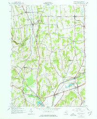
1943 Map of Munnsville
USGS Topo · Published 1977About this map
The Stockbridge Valley serves as a primary corridor for transport and settlement during the mid-1940s, anchored by the New York Ontario and Western RR. This rail line connects numerous small hubs including Munnsville, Pratts, and Morrisville Sta. The landscape is a mix of agricultural valley floors and prominent rises such as Crow Hill and Oak Hill.
Find a feature on this map
53 named features on this map. Tap any name to fly to it.
Don’t see what you’re looking for? This feature index may not catch every label — zoom into the map to look around manually.
Map Details
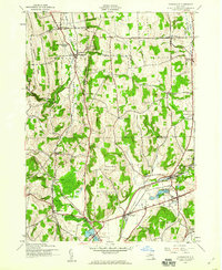
Editions of this 1943 Munnsville Map
2 editions found
Other maps of this area

1895 · Oriskany
USGS Topo · 1:62,500

1895 · Oneida
USGS Topo · 1:62,500

1898 · Oneida
USGS Topo · 1:62,500

1898 · Oriskany
USGS Topo · 1:62,500

1902 · Morrisville
USGS Topo · 1:62,500

1902 · Oneida
USGS Topo · 1:62,500

1907 · Sangerfield
USGS Topo · 1:62,500

1939 · Oneida
USGS Topo · 1:62,500

1943 · West Eaton
USGS Topo · 1:24,000

1943 · Morrisville
USGS Topo · 1:24,000