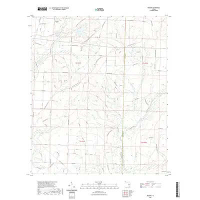
2021 Map of Munson
USGS Topo · Published 2021About this map
The Blackwater River State Forest Trails Trl dominates this Santa Rosa County landscape, where the Blackwater River and its numerous tributaries like Lighter Knot Creek carve through the Florida panhandle. The area is characterized by managed forest lands, indicated by numerous Department of Forestry markers such as Dof TRL and Dof s159, alongside the path of the Florida National Scenic Trl. Settlement is sparse, focused on infrastructure like the Blackwater Airfield and the historic Ates Cem. A complex network of named forest roads, including Martins Mill Rd and Munson Cemetary Rd, provides access to landmarks like Bear Lake. The map reveals a specialized timber and recreation economy, defined by the transition between the Santa Rosa and Okaloosa county lines.
Find a feature on this map
126 named features on this map. Tap any name to fly to it.
Don’t see what you’re looking for? This feature index may not catch every label — zoom into the map to look around manually.
Map Details
Editions of this 2021 Munson Map
This is the sole edition of this map. No revisions or reprints were ever made.
Other maps of this area

1934 · Holt
USGS Topo · 1:48,000

1934 · Harold
USGS Topo · 1:62,500

1937 · Holt
USGS Topo · 1:62,500

1937 · Harold
USGS Topo · 1:62,500

1938 · Harold
USGS Topo · 1:62,500

1948 · Munson
USGS Topo · 1:62,500

1949 · Crestview
USGS Topo · 1:62,500

1950 · Munson
USGS Topo · 1:62,500

1951 · Crestview
USGS Topo · 1:62,500

1956 · Holt
USGS Topo · 1:62,500