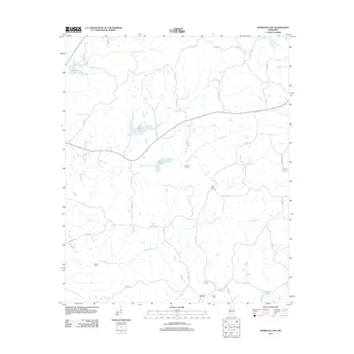
2012 Map of Murdock Lake
USGS Topo · Published 2012About this map
Emory sits at the southern edge of a landscape defined by an intricate network of waterways draining toward the Mississippi Delta. In this 2012 record, the drainage patterns of Abiaca Cr, Fannegusha Cr, and Little Fannegusha Cr illustrate a low-lying terrain shaped by slow-moving water and seasonal basins. The map captures a largely rural settlement pattern where local history is anchored by family and community burial grounds, including Reeves Cem, Murdock Cem, and Old Salem Cem. Transportation is dominated by a grid of rural routes such as Nebo Rd and Good Hope Rd, which connect scattered homesteads to local water bodies like Sanders Lake and Murdock Lake. The presence of Bisland Bayou at the eastern margin further underscores the alluvial character of this Holmes County territory, where the economy remains closely tied to the soil and the creek systems.
Find a feature on this map
51 named features on this map. Tap any name to fly to it.
Don’t see what you’re looking for? This feature index may not catch every label — zoom into the map to look around manually.
Map Details
Editions of this 2012 Murdock Lake Map
This is the sole edition of this map. No revisions or reprints were ever made.
Other maps of this area

1940 · Seven Pines
USGS Topo · 1:62,500

1940 · Lexington
USGS Topo · 1:62,500

1953 · Greenwood
USGS Topo · 1:250,000

1953 · West Point
USGS Topo · 1:250,000

1956 · Greenwood
USGS Topo · 1:250,000

1957 · Lexington
USGS Topo · 1:62,500

1957 · Seven Pines
USGS Topo · 1:62,500

1958 · West Point
USGS Topo · 1:250,000

1958 · Seven Pines
USGS Topo · 1:62,500

1958 · Lexington
USGS Topo · 1:62,500