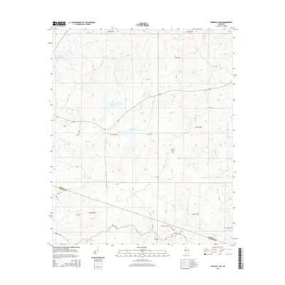
2015 Map of Murdock Lake
USGS Topo · Published 2015About this map
Emory sits in the southern portion of this landscape where the Carroll Co Holmes Co boundary line bisects the rural terrain. The area is defined by a dense network of creek systems, most notably the meandering paths of Abiaca Cr, Fannegusha Cr, and Murdock Cr. These waterways dictate the local geography, winding through sections of the Hill Country. Numerous small family or community burial grounds, including Reeves Cem, Old Salem Cem, and Martin Grove Cem, are scattered across the townships, offering significant points of interest for genealogical research.
Find a feature on this map
55 named features on this map. Tap any name to fly to it.
Don’t see what you’re looking for? This feature index may not catch every label — zoom into the map to look around manually.
Map Details
Editions of this 2015 Murdock Lake Map
This is the sole edition of this map. No revisions or reprints were ever made.
Other maps of this area

1940 · Seven Pines
USGS Topo · 1:62,500

1940 · Lexington
USGS Topo · 1:62,500

1953 · Greenwood
USGS Topo · 1:250,000

1953 · West Point
USGS Topo · 1:250,000

1956 · Greenwood
USGS Topo · 1:250,000

1957 · Lexington
USGS Topo · 1:62,500

1957 · Seven Pines
USGS Topo · 1:62,500

1958 · West Point
USGS Topo · 1:250,000

1958 · Seven Pines
USGS Topo · 1:62,500

1958 · Lexington
USGS Topo · 1:62,500