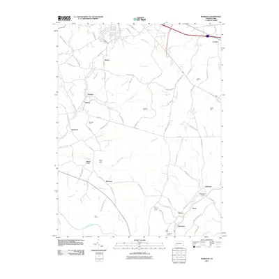
2010 Map of Murdock
USGS Topo · Published 2010About this map
Casselman River and its various tributaries define the landscape of this Somerset County region, illustrating a legacy of extraction and small-scale settlement. The map highlights numerous active and former mining sites, such as McGregor Mines, Wilson Creek Mines, and the Beachley Mine, which are scattered among hills like Cover Hill. These industrial markers sit alongside small communities including Roberts, Murdock, and Blackfield.
Find a feature on this map
82 named features on this map. Tap any name to fly to it.
Don’t see what you’re looking for? This feature index may not catch every label — zoom into the map to look around manually.
Map Details
Editions of this 2010 Murdock Map
This is the sole edition of this map. No revisions or reprints were ever made.
Other maps of this area

1913 · Somerset
USGS Topo · 1:62,500

1914 · Windber
USGS Topo · 1:62,500

1915 · Somerset
USGS Topo · 1:62,500

1916 · Windber
USGS Topo · 1:62,500

1921 · Meyersdale
USGS Topo · 1:62,500

1923 · Berlin
USGS Topo · 1:48,000

1929 · Berlin
USGS Topo · 1:62,500

1939 · Meyersdale
USGS Topo · 1:62,500

1944 · Somerset
USGS Topo · 1:62,500

1944 · Windber
USGS Topo · 1:62,500