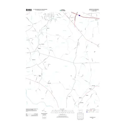
2013 Map of Murdock
USGS Topo · Published 2013About this map
Casselman River and its numerous tributaries, including Wilson Cr and Coxes Cr, carve through this section of Somerset County. The landscape is dotted with small settlements such as Murdock, Milford, and Shamrock, which are connected by a network of rural roads like Poverty Hollow Rd and Humbert School Rd. The map illustrates a transitional landscape where agriculture and recreation meet, evidenced by Dovan Farms and the Piney Run Golf Course. Genealogical interest is found in specific named locales such as Beachdale Hollow, Burkhelder, and Shober, reflecting the long-standing family legacies in this part of Pennsylvania. High points like Cover Hill and the Best Lookout provide geographic context to the winding creek valleys and dispersed farmsteads characteristic of the region.
Find a feature on this map
126 named features on this map. Tap any name to fly to it.
Don’t see what you’re looking for? This feature index may not catch every label — zoom into the map to look around manually.
Map Details
Editions of this 2013 Murdock Map
This is the sole edition of this map. No revisions or reprints were ever made.
Other maps of this area

1913 · Somerset
USGS Topo · 1:62,500

1914 · Windber
USGS Topo · 1:62,500

1915 · Somerset
USGS Topo · 1:62,500

1916 · Windber
USGS Topo · 1:62,500

1921 · Meyersdale
USGS Topo · 1:62,500

1923 · Berlin
USGS Topo · 1:48,000

1929 · Berlin
USGS Topo · 1:62,500

1939 · Meyersdale
USGS Topo · 1:62,500

1944 · Somerset
USGS Topo · 1:62,500

1944 · Windber
USGS Topo · 1:62,500