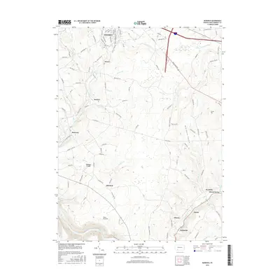
2016 Map of Murdock
USGS Topo · Published 2016About this map
Somerset serves as the northern anchor for this study of Pennsylvania’s highland terrain, where the residential streets of S Center Ave and S Edgewood Ave give way to the rural drainages of Coxes Creek and Kimberly Run. The landscape is characterized by a series of small, discrete settlements such as Murdock, Shamrock, and Roberts, which are connected by a network of local roads including Village Rd and Stutzman Town Rd.
Find a feature on this map
100 named features on this map. Tap any name to fly to it.
Don’t see what you’re looking for? This feature index may not catch every label — zoom into the map to look around manually.
Map Details
Editions of this 2016 Murdock Map
This is the sole edition of this map. No revisions or reprints were ever made.
Other maps of this area

1913 · Somerset
USGS Topo · 1:62,500

1914 · Windber
USGS Topo · 1:62,500

1915 · Somerset
USGS Topo · 1:62,500

1916 · Windber
USGS Topo · 1:62,500

1921 · Meyersdale
USGS Topo · 1:62,500

1923 · Berlin
USGS Topo · 1:48,000

1929 · Berlin
USGS Topo · 1:62,500

1939 · Meyersdale
USGS Topo · 1:62,500

1944 · Somerset
USGS Topo · 1:62,500

1944 · Windber
USGS Topo · 1:62,500