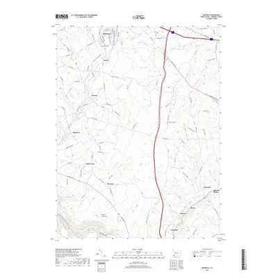
2019 Map of Murdock
USGS Topo · Published 2019About this map
Somerset anchors the northern portion of this map, where a dense network of suburban streets like Maplehurst Dr and Brierwood Dr meets the rolling agricultural land of the south. The landscape is defined by the high ridges of Negro Mountain and the deep incision of the Casselman Gorge, where the Casselman River winds through the southwestern corner. Scattered throughout the rural valleys are small historic settlements and crossroads, including Murdock, Beachdale, and Shober. Along the eastern edge, the topography rises toward Cover Hill and Beachdale Hollow, while numerous watercourses such as Bromm Run, Kimberly Run, and Coxes Creek drain the upland farms. These features illustrate the transition from the county seat's urban expansion to the rugged physiography of the Allegheny Mountains.
Find a feature on this map
95 named features on this map. Tap any name to fly to it.
Don’t see what you’re looking for? This feature index may not catch every label — zoom into the map to look around manually.
Map Details
Editions of this 2019 Murdock Map
This is the sole edition of this map. No revisions or reprints were ever made.
Other maps of this area

1913 · Somerset
USGS Topo · 1:62,500

1914 · Windber
USGS Topo · 1:62,500

1915 · Somerset
USGS Topo · 1:62,500

1916 · Windber
USGS Topo · 1:62,500

1921 · Meyersdale
USGS Topo · 1:62,500

1923 · Berlin
USGS Topo · 1:48,000

1929 · Berlin
USGS Topo · 1:62,500

1939 · Meyersdale
USGS Topo · 1:62,500

1944 · Somerset
USGS Topo · 1:62,500

1944 · Windber
USGS Topo · 1:62,500