Loading...
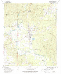
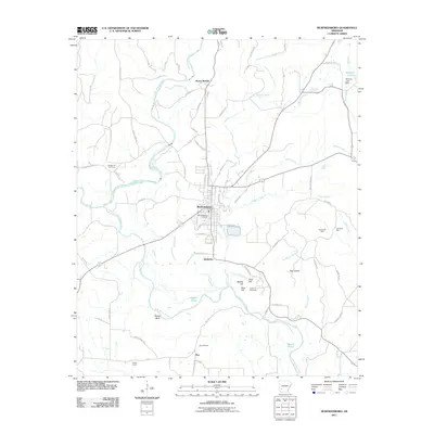
Loading map...1970 Map of Murfreesboro
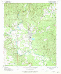
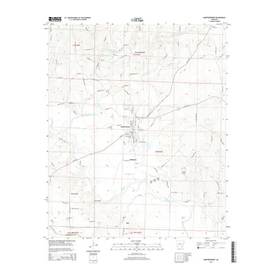
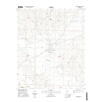
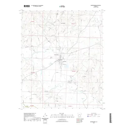
USGS Topo · Published 1986About this map
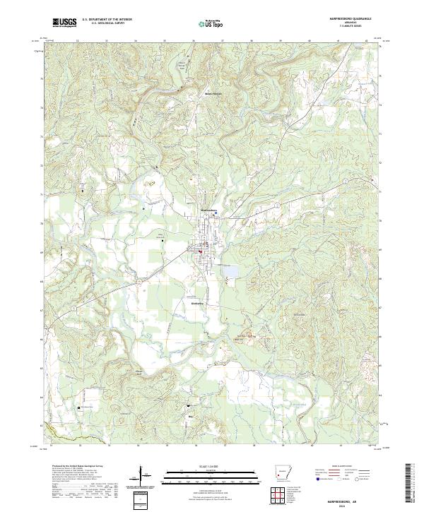
Murfreesboro serves as the focal point of this 1970 survey, situated where the Little Missouri River meets the Muddy Fork and Prairie Creek. The map documents a diverse landscape ranging from the archaeological significance of the Indian Mounds to the unique industrial heritage of the Crater of Diamonds (Diamond Mine) south of town. This era shows the community structure of outlying settlements like Kimberley and Mt Moriah, alongside several rural gathering places including Sweet Home and Roy.
Find a feature on this map
63 named features on this map. Tap any name to fly to it.
Don’t see what you’re looking for? This feature index may not catch every label — zoom into the map to look around manually.
Map Details
Date Portrayed1970
Date Published1986
PublisherU.S. Geological Survey
Map TypeTopographic
Scale1:24,000
Physical Dimensions22 x 26.8 inches
Editions of this 1970 Murfreesboro Map
2 editions found
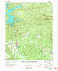
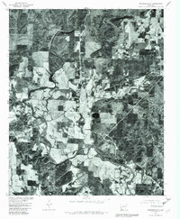
Historical Maps of Murfreesboro Through Time
8 maps found
Featured Locations
Source Details
SourceU.S. Geological Survey
CopyrightPublic Domain