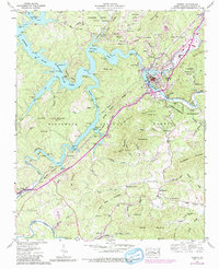
1957 Map of Murphy
USGS Topo · Published 1990About this map
The town of Murphy serves as the focal point of this map, situated at the confluence where the Hiwassee River meets the Nottely River. This mid-century survey illustrates the complex landscape of Western North Carolina during a period of transition, showing the extensive Hiwassee Lake and the Hiwassee Reservation Boundary. The terrain is marked by significant industrial activity, including Talc mines near Mt Liberty Ch and a Quarry on Fain Mountain.
Find a feature on this map
96 named features on this map. Tap any name to fly to it.
Don’t see what you’re looking for? This feature index may not catch every label — zoom into the map to look around manually.
Map Details
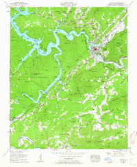
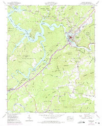
Editions of this 1957 Murphy Map
4 editions found

Other maps of this area

1886 · Dahlonega
USGS Topo · 1:125,000

1888 · Ellijay
USGS Topo · 1:125,000

1892 · Dahlonega
USGS Topo · 1:125,000

1892 · Ellijay
USGS Topo · 1:125,000

1893 · Murphy
USGS Topo · 1:125,000

1896 · Dahlonega
USGS Topo · 1:125,000

1898 · Ellijay
USGS Topo · 1:125,000

1903 · Dahlonega
USGS Topo · 1:125,000

1911 · Ellijay
USGS Topo · 1:125,000

1914 · Murphy
USGS Topo · 1:125,000