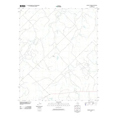
2010 Map of Murphy Creek
USGS Topo · Published 2010About this map
Murphy Creek and its various tributaries define the hydrology of this Shackelford County landscape, where water management is central to the local geography. Significant man-made features like Pico Lake Dam and Stasney Lake illustrate the development of water resources in this part of Texas. The road network is primarily composed of county routes and private lanes, such as Co RD 180 and PVT RD 1691, which branch off from more established corridors like FM 2482. This pattern of infrastructure suggests a rural area focused on ranching or agriculture, where private roads provide essential access to inland acreage far from the main thoroughfares. The drainage systems of Foyle Creek and South Branch McDowell Creek further delineate the terrain, showing how the natural flow of the land has dictated the placement of early settlements and livestock operations.
Find a feature on this map
21 named features on this map. Tap any name to fly to it.
Don’t see what you’re looking for? This feature index may not catch every label — zoom into the map to look around manually.
Map Details
Editions of this 2010 Murphy Creek Map
This is the sole edition of this map. No revisions or reprints were ever made.
Other maps of this area

1892 · Albany
USGS Topo · 1:125,000

1893 · Albany
USGS Topo · 1:125,000

1954 · Abilene
USGS Topo · 1:250,000

1958 · Abilene
USGS Topo · 1:250,000

1958 · Edwards Branch
USGS Topo · 1:24,000

1961 · Eolian
USGS Topo · 1:24,000

1965 · Collins Creek
USGS Topo · 1:24,000

1965 · Albany
USGS Topo · 1:24,000

1965 · McCatherine Mountain
USGS Topo · 1:24,000

1965 · Lusk
USGS Topo · 1:24,000