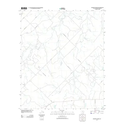
2012 Map of Murphy Creek
USGS Topo · Published 2012About this map
Murphy Cr and Newcomb Cr define the drainage patterns of this Shackelford County landscape, carving north-flowing paths through the ranch lands of Central Texas. The terrain is structured by a network of rural routes, including Fm-2482 and several numbered county and private roads that serve the local agriculture and cattle interests. In the southern reach of the quadrangle, Stassney Lake provides a significant water source, while the upper tributaries of McDowell Cr and its S Br McDowell Cr stretch across the eastern sections. This map documents a region where the land use remains predominantly open and rural, centered on the creeks that have sustained local ranching for generations.
Find a feature on this map
23 named features on this map. Tap any name to fly to it.
Don’t see what you’re looking for? This feature index may not catch every label — zoom into the map to look around manually.
Map Details
Editions of this 2012 Murphy Creek Map
This is the sole edition of this map. No revisions or reprints were ever made.
Other maps of this area

1892 · Albany
USGS Topo · 1:125,000

1893 · Albany
USGS Topo · 1:125,000

1954 · Abilene
USGS Topo · 1:250,000

1958 · Abilene
USGS Topo · 1:250,000

1958 · Edwards Branch
USGS Topo · 1:24,000

1961 · Eolian
USGS Topo · 1:24,000

1965 · Collins Creek
USGS Topo · 1:24,000

1965 · Albany
USGS Topo · 1:24,000

1965 · McCatherine Mountain
USGS Topo · 1:24,000

1965 · Lusk
USGS Topo · 1:24,000