
1893 Map of Murphy
USGS Topo · Published 1893About this map
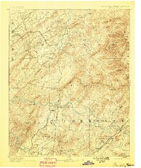
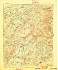
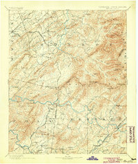
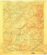
Murphy serves as the focal point for this late 19th-century survey of the borderlands between North Carolina and Tennessee. The landscape is defined by the heavy presence of the Unaka Mountains and the winding course of the Tellico River and Hiwassee River. At this time, the region's industrial character is marked by significant copper mining operations near Ducktown, including the Isabella Mine, Old Ten Mine, and Mary Mine.
Find a feature on this map
164 named features on this map. Tap any name to fly to it.
Don’t see what you’re looking for? This feature index may not catch every label — zoom into the map to look around manually.
Map Details
Editions of this 1893 Murphy Map
5 editions found
Other maps of this area

1886 · Dalton
USGS Topo · 1:125,000

1886 · Cleveland
USGS Topo · 1:125,000

1886 · Knoxville
USGS Topo · 1:125,000

1886 · Dahlonega
USGS Topo · 1:125,000

1887 · Kingston
USGS Topo · 1:125,000

1888 · Ellijay
USGS Topo · 1:125,000

1891 · Kingston
USGS Topo · 1:125,000

1892 · Dahlonega
USGS Topo · 1:125,000

1892 · Cleveland
USGS Topo · 1:125,000

1892 · Ellijay
USGS Topo · 1:125,000