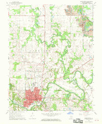
1968 Map of Murphysboro
USGS Topo · Published 1970About this map
The winding Big Muddy River and its tributary Beaucoup Creek define the landscape north of the Jackson County seat in the late 1960s. The city of Murphysboro is the focal point, showing a dense street grid including Walnut St and North St, anchored by the central Courthouse. Local history is preserved in several family and community landmarks such as McElvain Sch, Pate Chapel, and the Tower Grove Cemetery.
Find a feature on this map
75 named features on this map. Tap any name to fly to it.
Don’t see what you’re looking for? This feature index may not catch every label — zoom into the map to look around manually.
Map Details
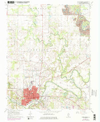
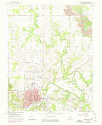
Editions of this 1968 Murphysboro Map
3 editions found
Other maps of this area

1910 · Herrin
USGS Topo · 1:62,500

1910 · Murphysboro
USGS Topo · 1:62,500

1922 · Carbondale
USGS Topo · 1:62,500

1924 · Alto Pass
USGS Topo · 1:62,500

1936 · Herrin
USGS Topo · 1:62,500

1938 · Murphysboro
USGS Topo · 1:62,500

1941 · Carbondale
USGS Topo · 1:62,500

1947 · Alto Pass
USGS Topo · 1:62,500

1947 · Gorham
USGS Topo · 1:24,000
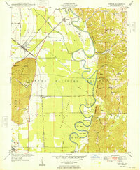
1948 · Gorham
USGS Topo · 1:24,000