Loading...
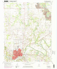
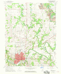
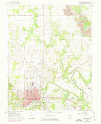
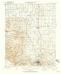
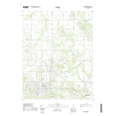
Loading map...1968 Map of Murphysboro
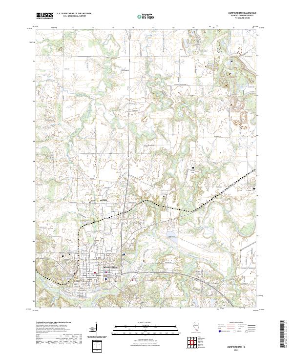
USGS Topo · Published 1978About this map
The confluence of the Big Muddy River and Beaucoup Creek anchors this mid-century survey of the Murphysboro area. The city core is defined by a dense grid including Walnut St and Illinois Ave, reflecting its role as a regional hub served by three major rail lines: the Illinois Central Railroad, the Gulf Mobile and Ohio Railroad, and the Missouri Pacific Railroad.
Find a feature on this map
59 named features on this map. Tap any name to fly to it.
Don’t see what you’re looking for? This feature index may not catch every label — zoom into the map to look around manually.
Map Details
Date Portrayed1968
Date Published1978
PublisherU.S. Geological Survey
Map TypeTopographic
Scale1:24,000
Physical Dimensions21.9 x 26.8 inches
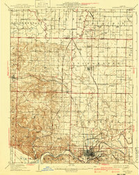
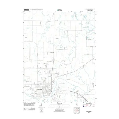
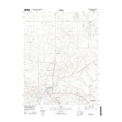
Editions of this 1968 Murphysboro Map
3 editions found
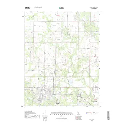
Historical Maps of Carbondale Through Time
8 maps found
Featured Locations
Source Details
SourceU.S. Geological Survey
CopyrightPublic Domain