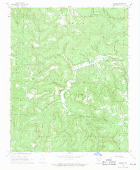
1968 Map of Murray
USGS Topo · Published 1969About this map
Low Gap and the surrounding Ozark Highlands define this 1968 topographic survey, capturing a network of rural communities at the headwaters of the Buffalo River. The map details the intricate drainage of the Little Buffalo River and its forks, where small settlements like Murray and Beckham are connected by winding mountain roads. Family and community life is anchored by local institutions such as Shiloh Church, Buffalo Church, and several burial grounds including Snow Cemetery and Rich Cemetery.
Find a feature on this map
75 named features on this map. Tap any name to fly to it.
Don’t see what you’re looking for? This feature index may not catch every label — zoom into the map to look around manually.
Map Details
Editions of this 1968 Murray Map
2 editions found
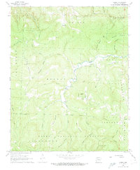
Other maps of this area

1904 · Harrison
USGS Topo · 1:125,000

1905 · Harrison
USGS Topo · 1:125,000

1933 · Mt Judea
USGS Topo · 1:62,500

1940 · Mt Judea
USGS Topo · 1:62,500

1945 · Harrison
USGS Topo · 1:250,000

1949 · Harrison
USGS Topo · 1:250,000

1954 · Harrison
USGS Topo · 1:250,000

1956 · Russellville
USGS Topo · 1:250,000

1958 · Harrison
USGS Topo · 1:250,000

1964 · Russellville
USGS Topo · 1:250,000