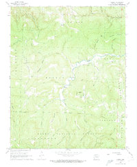
1968 Map of Murray
USGS Topo · Published 1970About this map
The Little Buffalo River carves through this portion of Newton County, anchoring a landscape where small Ozark settlements like Murray and Wayton served as local hubs. This late-1960s survey documents a network of community landmarks, including the Low Gap (PO) and several remote places of worship and burial such as Shiloh Ch, Murray Ch, and Shiloh Cem. The terrain is characterized by numerous hollows and prongs, such as Wildcat Hollow and Hoghead Prong, which descend from high points like Henderson Mountain and Shiloh Mountain. Much of the southern and western portions of the quadrangle are contained within the Ozark National Forest, where the land remains largely undeveloped, save for established forest boundaries and the persistent winding course of the river.
Find a feature on this map
56 named features on this map. Tap any name to fly to it.
Don’t see what you’re looking for? This feature index may not catch every label — zoom into the map to look around manually.
Map Details
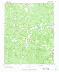
Editions of this 1968 Murray Map
2 editions found
Other maps of this area

1904 · Harrison
USGS Topo · 1:125,000

1905 · Harrison
USGS Topo · 1:125,000

1933 · Mt Judea
USGS Topo · 1:62,500

1940 · Mt Judea
USGS Topo · 1:62,500

1945 · Harrison
USGS Topo · 1:250,000

1949 · Harrison
USGS Topo · 1:250,000

1954 · Harrison
USGS Topo · 1:250,000

1956 · Russellville
USGS Topo · 1:250,000

1958 · Harrison
USGS Topo · 1:250,000

1964 · Russellville
USGS Topo · 1:250,000