
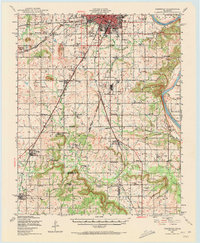
1905 Map of Muscogee
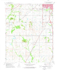
USGS Topo · Published 1905This historical map portrays the area of Muscogee in 1905, primarily covering Muskogee as well as portions of Cherokee County, Sequoyah County, Wagoner, and McIntosh County. Featuring a scale of 1:125000, this map provides a highly detailed snapshot of the terrain, roads, buildings, counties, and historical landmarks in the Muscogee region at the time. Published in 1905, it is the sole known edition of this map.
Find a feature on this map
55 named features on this map. Tap any name to fly to it.
Don’t see what you’re looking for? This feature index may not catch every label — zoom into the map to look around manually.
Map Details
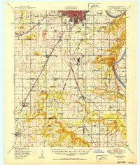
Editions of this 1905 Muscogee Map
This is the sole edition of this map. No revisions or reprints were ever made.
Historical Maps of Redbird Smith Through Time
15 maps found
1905 Muscogee
Muskogee County, OK
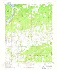
1948 Keefeton
Muskogee County, OK
1950 Keefeton
Muskogee County, OK
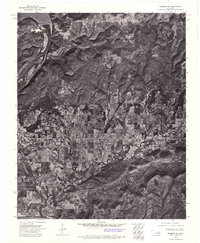
1963 Holt Mountain
Muskogee County, OK
1971 Beland
Muskogee County, OK
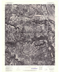
1972 Hulbert SW
Muskogee County, OK

1972 Keefeton NE
Muskogee County, OK
1972 Keefeton SE
Muskogee County, OK
1972 Keefeton SW
Muskogee County, OK
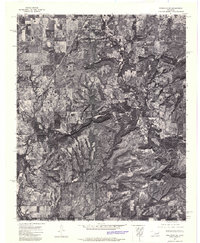
1972 Wagoner SE
Muskogee County, OK
1972 Webbers Falls SW
Muskogee County, OK
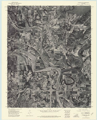
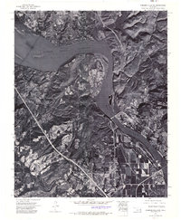
1974 Fort Gibson Dam
Muskogee County, OK
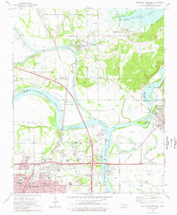
1974 Northeast Muskogee
Muskogee County, OK
1974 Southeast Muskogee
Muskogee County, OK
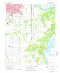
1974 Southwest Muskogee
Muskogee County, OK