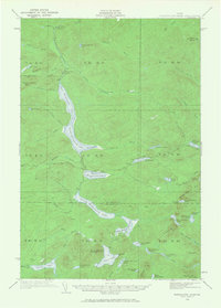
1932 Map of Musquacook Lakes
USGS Topo · Published 1968About this map
The First Musquacook Lake and its four sister lakes form a north-south chain through this remote section of the Maine woods, reflecting the region's historical reliance on waterways and winter roads for timber access. Surveyed in the early 1930s, the landscape is defined by its working-forest infrastructure, notably the American Realty Tote Road and the California Road which provided essential overland routes for logging crews. High points like Shepherd Brook Mtn and Hudson Mtn overlook a dense network of streams and ponds, including Squirrel Pond and Robbins Brook. The presence of the Clear Lake Mtn Fire Tower underscores the period's focus on fire detection in these vast timberlands, while isolated outposts like Butlers Camp show the sparse, transient nature of human settlement in the North Woods during this era.
Find a feature on this map
68 named features on this map. Tap any name to fly to it.
Don’t see what you’re looking for? This feature index may not catch every label — zoom into the map to look around manually.
Map Details
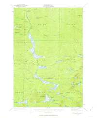
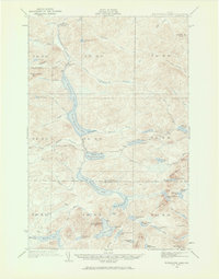
Editions of this 1932 Musquacook Lakes Map
4 editions found
Other maps of this area

1931 · Fish River Lake
USGS Topo · 1:48,000

1931 · Mooseleuk Lake
USGS Topo · 1:48,000

1932 · Umsaskis Lake
USGS Topo · 1:48,000

1932 · Musquacook Lakes
USGS Topo · 1:48,000

1932 · Allagash Falls
USGS Topo · 1:48,000

1935 · Umsaskis Lake
USGS Topo · 1:62,500

1935 · Musquacook Lakes
USGS Topo · 1:62,500

1935 · Fish River Lake
USGS Topo · 1:62,500

1935 · Mooseleuk Lake
USGS Topo · 1:62,500

1935 · Allagash Falls
USGS Topo · 1:62,500