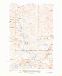
1935 Map of Musquacook Lakes
USGS Topo · Published 1947About this map
First Musquacook Lake and its sister waters form a chain of north-flowing drainage in this remote section of the North Maine Woods, surveyed in the early 1930s. The landscape is defined by the logistical reach of the timber industry, anchored by the American Realty Tote Road and the presence of Butlers Camp. A high-altitude lookout at the Clear Lake Mtn Fire Tower oversaw the vast spruce and fir forests, while the Musquacook Stream flows through technical stretches like Horse Race Rapids. The map records sparse human infrastructure in the northern townships, such as the small settlement at California and a network of Brooks—including McCluskey Brook and Caribou Brook—that fed the region's logging drives. This era captured the transition of these townships before modern paper company roads reshaped the access patterns of Aroostook and Piscataquis counties.
Find a feature on this map
75 named features on this map. Tap any name to fly to it.
Don’t see what you’re looking for? This feature index may not catch every label — zoom into the map to look around manually.
Map Details
Editions of this 1935 Musquacook Lakes Map
3 editions found
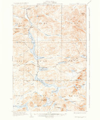
Other maps of this area

1931 · Fish River Lake
USGS Topo · 1:48,000

1931 · Mooseleuk Lake
USGS Topo · 1:48,000

1932 · Umsaskis Lake
USGS Topo · 1:48,000

1932 · Musquacook Lakes
USGS Topo · 1:48,000

1932 · Allagash Falls
USGS Topo · 1:48,000

1935 · Umsaskis Lake
USGS Topo · 1:62,500

1935 · Musquacook Lakes
USGS Topo · 1:62,500

1935 · Fish River Lake
USGS Topo · 1:62,500

1935 · Mooseleuk Lake
USGS Topo · 1:62,500

1935 · Allagash Falls
USGS Topo · 1:62,500