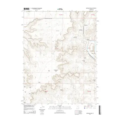
2014 Map of Musselman Arch
USGS Topo · Published 2014About this map
Canyonlands National Park dominates this survey, revealing a landscape defined by dramatic elevation changes and the erosive power of the Colorado River. The high plateau known as Island in the Sky provides a massive vantage point overlooking a complex system of drainages, including Shafer Canyon and Taylor Canyon. Notable geological formations such as the Musselman Arch and Mesa Arch serve as distinct landmarks along the rim, while the distinct bend at the Goose Neck highlights the river's winding path through Meander Canyon. For those studying the hydrology of this arid region, the map identifies sparse but critical water sources like Neck Spring and Cabin Spring, as well as the secluded Red Sea pool. This 2014 record documents the intricate network of canyons and spires, such as Washer Woman and Airport Tower, that characterize the high desert of San Juan County.
Find a feature on this map
36 named features on this map. Tap any name to fly to it.
Don’t see what you’re looking for? This feature index may not catch every label — zoom into the map to look around manually.
Map Details
Editions of this 2014 Musselman Arch Map
This is the sole edition of this map. No revisions or reprints were ever made.
Other maps of this area

1885 · La Sal
USGS Topo · 1:250,000

1951 · The Knoll
USGS Topo · 1:62,500

1951 · Upheaval Dome
USGS Topo · 1:62,500

1952 · Carlisle 2 SE
USGS Topo · 1:24,000

1952 · Carlisle 2 NW
USGS Topo · 1:24,000

1952 · Moab 3 SE
USGS Topo · 1:24,000

1952 · Carlisle 2 NE
USGS Topo · 1:24,000

1952 · Carlisle 2 SW
USGS Topo · 1:24,000

1952 · Moab 3 SW
USGS Topo · 1:24,000

1952 · Moab 4 SW
USGS Topo · 1:24,000