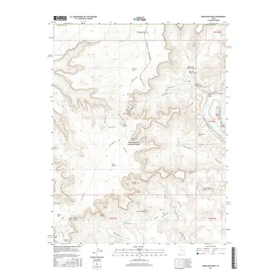
2017 Map of Musselman Arch
USGS Topo · Published 2017About this map
Canyonlands National Park defines the high-desert landscape of this San Juan County region, where the plateau known as Island in the Sky drops away into a complex system of deep drainages. The geography is anchored by The Neck, a narrow land bridge that provides the only terrestrial access to the broad mesa top. From here, the terrain descends through several distinct levels, including Grays Pasture and Red Sea Flat, before reaching the sheer drops of Shafer Canyon and Musselman Canyon.
Find a feature on this map
43 named features on this map. Tap any name to fly to it.
Don’t see what you’re looking for? This feature index may not catch every label — zoom into the map to look around manually.
Map Details
Editions of this 2017 Musselman Arch Map
This is the sole edition of this map. No revisions or reprints were ever made.
Other maps of this area

1885 · La Sal
USGS Topo · 1:250,000

1951 · The Knoll
USGS Topo · 1:62,500

1951 · Upheaval Dome
USGS Topo · 1:62,500

1952 · Carlisle 2 SE
USGS Topo · 1:24,000

1952 · Carlisle 2 NW
USGS Topo · 1:24,000

1952 · Moab 3 SE
USGS Topo · 1:24,000

1952 · Carlisle 2 NE
USGS Topo · 1:24,000

1952 · Carlisle 2 SW
USGS Topo · 1:24,000

1952 · Moab 3 SW
USGS Topo · 1:24,000

1952 · Moab 4 SW
USGS Topo · 1:24,000