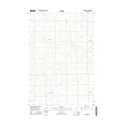
2017 Map of Musselshell NW
USGS Topo · Published 2017About this map
Haroldson Spring sits at the northeastern edge of this landscape in Musselshell County, an area defined by the seasonal drainages of the Montana plains. The topography is marked by the branching paths of Howard Cr in the north and the headwaters of N Willow Cr and Little Wall Cr to the south. This terrain, captured in the late 2010s, shows a sparse network of infrastructure where Fourmile Rd serves as the primary artery through the high prairie. The map illustrates the geometric precision of the Public Land Survey System, dividing the open range into sections across townships T11N R28E and T11N R29E. It is a portrait of a working landscape where water sources like Haroldson Spring remain vital landmarks for navigation and land use in an otherwise open and unpopulated expanse.
Find a feature on this map
9 named features on this map. Tap any name to fly to it.
Don’t see what you’re looking for? This feature index may not catch every label — zoom into the map to look around manually.
Map Details
Editions of this 2017 Musselshell NW Map
This is the sole edition of this map. No revisions or reprints were ever made.
Other maps of this area

1954 · Roundup
USGS Topo · 1:250,000

1958 · Roundup
USGS Topo · 1:250,000

1963 · Kelley
USGS Topo · 1:24,000

1963 · Musselshell
USGS Topo · 1:24,000
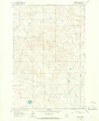
1963 · Akers Ranch
USGS Topo · 1:24,000

1963 · Musselshell NW
USGS Topo · 1:24,000
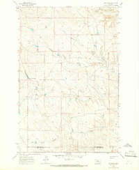
1963 · Mud Spring
USGS Topo · 1:24,000

1963 · Delphia
USGS Topo · 1:24,000

1986 · Crowley Dam
USGS Topo · 1:24,000
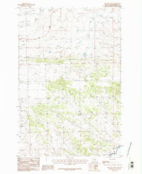
1986 · Big Wall East
USGS Topo · 1:24,000