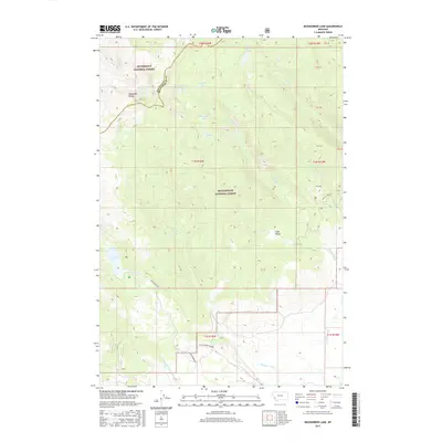
2017 Map of Mussigbrod Lake
USGS Topo · Published 2017About this map
The high peaks of the Anaconda Range define the boundary between the Bitterroot National Forest and Beaverhead National Forest in this 2017 survey. This region of the Big Hole Valley area is characterized by a series of high-altitude alpine lakes and drainage systems, with Mussigbrod Lake serving as a primary point of interest. Access to the interior is limited to few primitive routes such as Mussigbrod Lake Rd and Howell Creek Rd, highlighting the wilderness character of the terrain. The map details a sophisticated network of waterways including Plimpton Cr and Thompson Cr, which feed through glacial features like Clam Valley. Numerous smaller water bodies like Mystic Lake, Crystal Lake, and Continental Lake are tucked among the ridges, providing a clear picture of the hydrological patterns of the Continental Divide's eastern slopes.
Find a feature on this map
30 named features on this map. Tap any name to fly to it.
Don’t see what you’re looking for? This feature index may not catch every label — zoom into the map to look around manually.
Map Details
Editions of this 2017 Mussigbrod Lake Map
This is the sole edition of this map. No revisions or reprints were ever made.
Other maps of this area

1955 · Dillon
USGS Topo · 1:250,000

1957 · Dillon
USGS Topo · 1:250,000

1958 · Dillon
USGS Topo · 1:250,000

1962 · Dillon
USGS Topo · 1:250,000

1962 · Mud Lake
USGS Topo · 1:24,000

1962 · Pintlar Lake
USGS Topo · 1:24,000
1962 · Warren Peak
USGS Topo · 1:24,000

1965 · Dillon
USGS Topo · 1:250,000

1966 · Gibbons School
USGS Topo · 1:24,000

1966 · Big Hole Battlefield
USGS Topo · 1:24,000