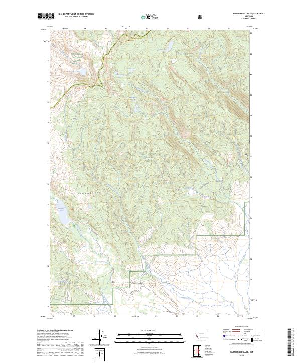
2024 Map of Mussigbrod Lake
USGS Topo · Published 2024About this map
The Anaconda Range defines this high-elevation landscape, where the Anaconda Pintler Wilderness protects a dense network of glacial basins and alpine lakes. This contemporary survey records the passage of the Continental Divide National Scenic Trl as it winds along the border of Ravalli Co and Beaverhead Co, connecting remote water bodies like Hope Lake, Crystal Lake, and Mystic Lake.
Find a feature on this map
25 named features on this map. Tap any name to fly to it.
Don’t see what you’re looking for? This feature index may not catch every label — zoom into the map to look around manually.
Map Details
Editions of this 2024 Mussigbrod Lake Map
This is the sole edition of this map. No revisions or reprints were ever made.
Other maps of this area

1955 · Dillon
USGS Topo · 1:250,000

1957 · Dillon
USGS Topo · 1:250,000

1958 · Dillon
USGS Topo · 1:250,000

1962 · Dillon
USGS Topo · 1:250,000

1962 · Mud Lake
USGS Topo · 1:24,000

1962 · Pintlar Lake
USGS Topo · 1:24,000
1962 · Warren Peak
USGS Topo · 1:24,000

1965 · Dillon
USGS Topo · 1:250,000

1966 · Gibbons School
USGS Topo · 1:24,000

1966 · Big Hole Battlefield
USGS Topo · 1:24,000