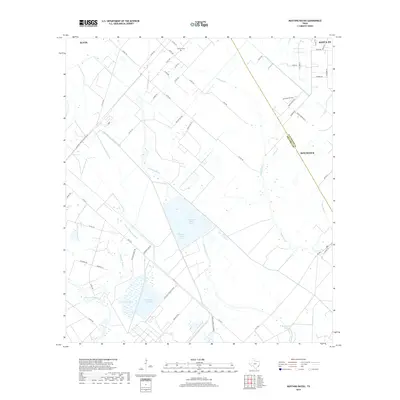
2019 Map of Mustang Bayou
USGS Topo · Published 2019About this map
Mustang Bayou and Halls Bayou wind through this coastal prairie landscape between Alvin and Hitchcock, defining a region shaped by industrial development and agricultural water management. The presence of the Chocolate Bayou Rice Canal and the Monsanto Reservoir illustrates the complex infrastructure required to support both the local rice farming tradition and the heavy industrial corridor along the Galveston and Brazoria county line. Large-scale industrial footprints are prominent, including the Equitar Chemical Plant and Amoco Chemical Company, which sit alongside natural features like Duck Lake and the twin basins of Mustang Lake West and Mustang Lake East. This 2019 survey also preserves the location of the German Cem near the northern border, providing a small but vital link for genealogists to the area's earlier settlement history amidst the modern sprawling refineries and chemical works.
Find a feature on this map
63 named features on this map. Tap any name to fly to it.
Don’t see what you’re looking for? This feature index may not catch every label — zoom into the map to look around manually.
Map Details
Editions of this 2019 Mustang Bayou Map
This is the sole edition of this map. No revisions or reprints were ever made.
Other maps of this area

1929 · Dickinson
USGS Topo · 1:24,000

1929 · Karankawa Lake
USGS Topo · 1:24,000

1929 · Algoa
USGS Topo · 1:24,000

1929 · Hitchcock
USGS Topo · 1:24,000

1932 · Algoa
USGS Topo · 1:31,680

1932 · Dickinson
USGS Topo · 1:31,680

1932 · Hitchcock
USGS Topo · 1:31,680

1932 · Mustang Bayou
USGS Topo · 1:31,680

1933 · Karankawa Lake
USGS Topo · 1:31,680

1943 · Danbury
USGS Topo · 1:31,680