Loading...
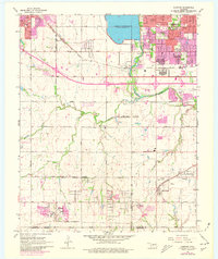
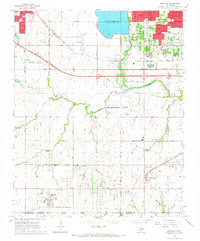
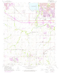
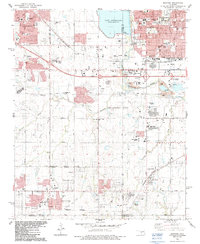
Loading map...1966 Map of Mustang
USGS Topo · Published 1980About this map
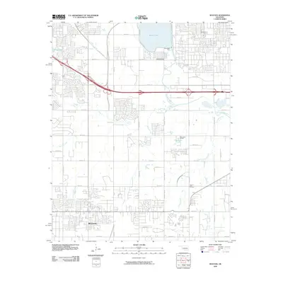
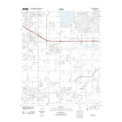
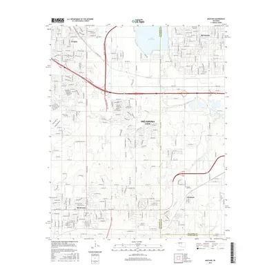
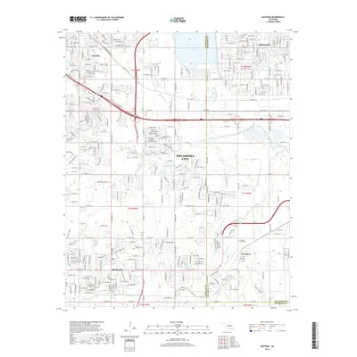
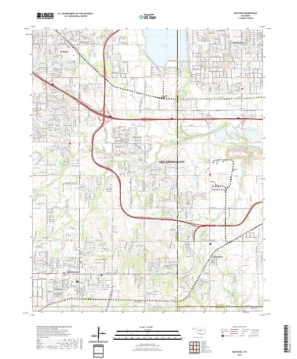
Lake Overholser and the North Canadian River anchor the northern landscape of this mid-1960s study, where the expanding urban footprints of Yukon, Bethany, and Oklahoma City begin to press into the surrounding farmland. The era is defined by a transition in transit, with the heavy rail lines of the Chicago Rock Island and Pacific and St Louis San Francisco sharing the terrain with the rising Stanley Draper Expressway.
Find a feature on this map
45 named features on this map. Tap any name to fly to it.
Don’t see what you’re looking for? This feature index may not catch every label — zoom into the map to look around manually.
Map Details
Date Portrayed1966
Date Published1980
PublisherU.S. Geological Survey
Map TypeTopographic
Scale1:24,000
Physical Dimensions23 x 27.3 inches
Editions of this 1966 Mustang Map
3 editions found
Historical Maps of Oklahoma City Through Time
7 maps found
Featured Locations
Source Details
SourceU.S. Geological Survey
CopyrightPublic Domain