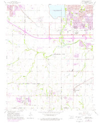
1966 Map of Mustang
USGS Topo · Published 1976About this map
Lake Overholser and the Canadian River define the northern and eastern reaches of this mid-1960s landscape as the suburban footprints of Oklahoma City and Bethany begin to expand westward. The transition from industrial corridors to open rural acreage is marked by the presence of numerous oil wells and radio facilities scattered across the terrain. Key transportation routes, including the Chicago Rock Island and Pacific railroad and the Stanley Draper Expressway, facilitate movement through these growing communities.
Find a feature on this map
47 named features on this map. Tap any name to fly to it.
Don’t see what you’re looking for? This feature index may not catch every label — zoom into the map to look around manually.
Map Details
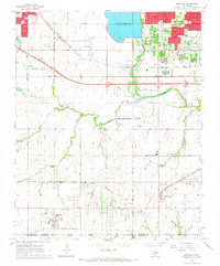
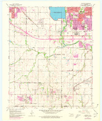
Editions of this 1966 Mustang Map
3 editions found
Other maps of this area

1892 · Kingfisher
USGS Topo · 1:125,000

1893 · Oklahoma City
USGS Topo · 1:62,500

1893 · Minco
USGS Topo · 1:62,500

1895 · Kingfisher
USGS Topo · 1:125,000

1904 · Chickasha
USGS Topo · 1:125,000

1951 · Britton
USGS Topo · 1:24,000

1954 · Oklahoma City
USGS Topo · 1:250,000

1956 · Oklahoma City
USGS Topo · 1:24,000

1956 · Oklahoma City
USGS Topo · 1:62,500

1956 · Oklahoma City SE
USGS Topo · 1:24,000