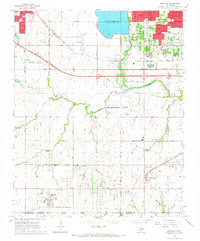
1966 Map of Mustang
USGS Topo · Published 1967About this map
Mustang and Wheatland serve as primary anchors in this mid-1960s landscape, positioned south of the North Canadian River and the significant recreational waters of Lake Overholser. The map reveals a region in transition, where established rural communities meet the expanding corporate boundaries of Oklahoma City, Yukon, and Bethany. Infrastructure defines the era, with two major rail lines—the Chicago Rock Island and Pacific and the St Louis - San Francisco—cutting through the terrain, alongside a notable highway section labeled under construction. For local historians, the inclusion of several educational institutions, including Mustang Valley Sch, Western Heights High Sch, and Will Rogers Sch, provides a clear view of the social geography and community centers of the time. The presence of the Pleasant Valley Cem near Wheatland offers a vital point of reference for genealogical research.
Find a feature on this map
56 named features on this map. Tap any name to fly to it.
Don’t see what you’re looking for? This feature index may not catch every label — zoom into the map to look around manually.
Map Details
Editions of this 1966 Mustang Map
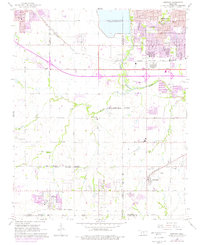
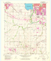
3 editions found
Other maps of this area

1892 · Kingfisher
USGS Topo · 1:125,000

1893 · Oklahoma City
USGS Topo · 1:62,500

1893 · Minco
USGS Topo · 1:62,500

1895 · Kingfisher
USGS Topo · 1:125,000

1904 · Chickasha
USGS Topo · 1:125,000

1951 · Britton
USGS Topo · 1:24,000

1954 · Oklahoma City
USGS Topo · 1:250,000

1956 · Oklahoma City
USGS Topo · 1:24,000

1956 · Oklahoma City
USGS Topo · 1:62,500

1956 · Oklahoma City SE
USGS Topo · 1:24,000