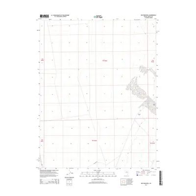
2014 Map of Mustang Well
USGS Topo · Published 2014About this map
Lake Valley dominates the topography of this eastern Nevada basin, providing a stark perspective on the arid Lincoln County landscape in the early 21st century. The map centers on the critical water source at Mustang Well, a vital landmark for desert navigation and livestock in a region defined by its sparsity of resources. Flowing from the hills in the southeast, Wilson Cr cuts through the basin floor, illustrating the drainage patterns that define this high-desert environment. Access to this remote area is primarily facilitated by Lake Valley Rd, which skirts the southern portion of the quadrangle. This 2014 survey documents the enduring spatial layout of the Public Land Survey System, showing the township and range grids that continue to govern land management across these expansive basins.
Find a feature on this map
10 named features on this map. Tap any name to fly to it.
Don’t see what you’re looking for? This feature index may not catch every label — zoom into the map to look around manually.
Map Details
Editions of this 2014 Mustang Well Map
This is the sole edition of this map. No revisions or reprints were ever made.
Other maps of this area

1956 · Lund
USGS Topo · 1:250,000

1960 · Lund
USGS Topo · 1:250,000

1973 · Schoolmarm Basin
USGS Topo · 1:24,000

1973 · Gouge Eye Well
USGS Topo · 1:24,000

1973 · Horse Corral Pass
USGS Topo · 1:24,000
1973 · Grassy Mtn
USGS Topo · 1:24,000
1973 · Dutch John Mtn
USGS Topo · 1:24,000
1973 · Mustang Well
USGS Topo · 1:24,000
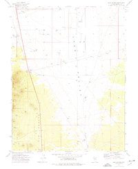
1973 · Pony Springs
USGS Topo · 1:24,000
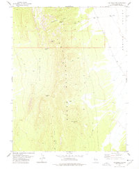
1978 · The Gouge Eye
USGS Topo · 1:24,000