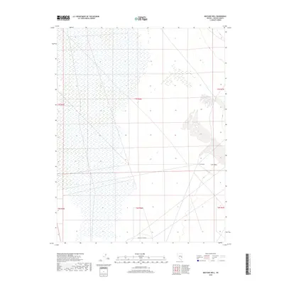
2018 Map of Mustang Well
USGS Topo · Published 2018About this map
Lake Valley defines the wide, high-desert character of this Lincoln County landscape, where the ephemeral flow of Wilson Cr crosses the southern reaches. This modern survey illustrates the persistent importance of isolated water sources in the Great Basin, centered on the historic Mustang Well. The map captures a transitional rural area where the vastness of the valley meets very light infrastructure, primarily represented by Lake Valley Acres Rd in the south. While largely undeveloped, the presence of these named landmarks and water features provides a detailed look at the geography of this high-elevation basin as it was recorded by the U.S. Geological Survey in the late 2010s.
Find a feature on this map
10 named features on this map. Tap any name to fly to it.
Don’t see what you’re looking for? This feature index may not catch every label — zoom into the map to look around manually.
Map Details
Editions of this 2018 Mustang Well Map
This is the sole edition of this map. No revisions or reprints were ever made.
Other maps of this area

1956 · Lund
USGS Topo · 1:250,000

1960 · Lund
USGS Topo · 1:250,000

1973 · Schoolmarm Basin
USGS Topo · 1:24,000

1973 · Gouge Eye Well
USGS Topo · 1:24,000

1973 · Horse Corral Pass
USGS Topo · 1:24,000
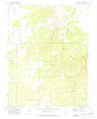
1973 · Grassy Mtn
USGS Topo · 1:24,000
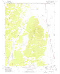
1973 · Dutch John Mtn
USGS Topo · 1:24,000
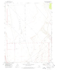
1973 · Mustang Well
USGS Topo · 1:24,000
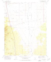
1973 · Pony Springs
USGS Topo · 1:24,000
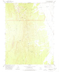
1978 · The Gouge Eye
USGS Topo · 1:24,000