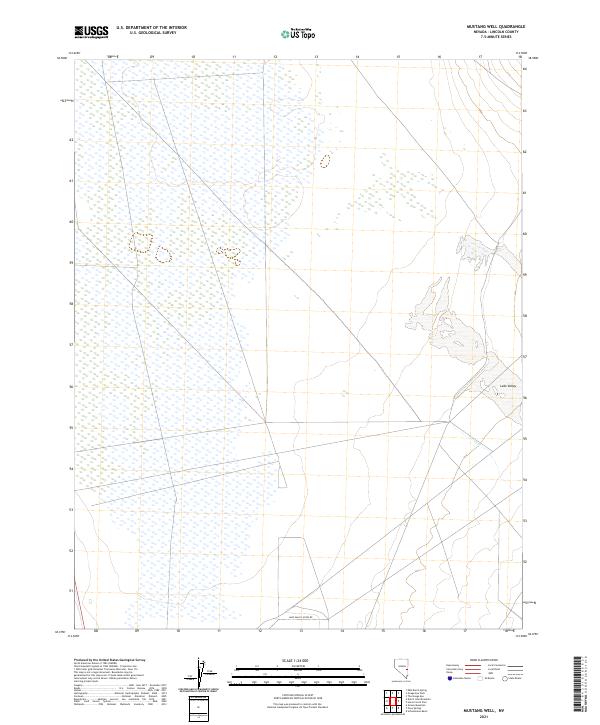
2021 Map of Mustang Well
USGS Topo · Published 2021About this map
Lake Valley dominates this high-desert landscape in eastern Nevada, characterized by an extensive network of wetlands and intermittent watercourses typical of the Great Basin's endorheic drainage systems. The map illustrates the hydrological patterns of the region, where Wilson Cr flows toward the valley floor, feeding into a broad area of seasonally variable wetlands. This 2021 study by the U.S. Geological Survey reveals a landscape defined more by natural topography and water resource management than by dense settlement. Human activity is largely represented by the presence of Lake Valley Acres Rd in the southern portion of the quadrangle, suggesting the encroaching rural development or ranch access that exists alongside traditional public land survey boundaries such as t7n r66e.
Find a feature on this map
10 named features on this map. Tap any name to fly to it.
Don’t see what you’re looking for? This feature index may not catch every label — zoom into the map to look around manually.
Map Details
Editions of this 2021 Mustang Well Map
This is the sole edition of this map. No revisions or reprints were ever made.
Other maps of this area

1956 · Lund
USGS Topo · 1:250,000

1960 · Lund
USGS Topo · 1:250,000

1973 · Schoolmarm Basin
USGS Topo · 1:24,000

1973 · Gouge Eye Well
USGS Topo · 1:24,000

1973 · Horse Corral Pass
USGS Topo · 1:24,000
1973 · Grassy Mtn
USGS Topo · 1:24,000
1973 · Dutch John Mtn
USGS Topo · 1:24,000
1973 · Mustang Well
USGS Topo · 1:24,000
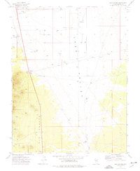
1973 · Pony Springs
USGS Topo · 1:24,000
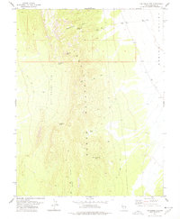
1978 · The Gouge Eye
USGS Topo · 1:24,000